Big Drone

We provide solutions for various airborne roles and at a fraction of the cost of current manned aircraft applications.

Our aircraft has longer range, longer endurance, larger payload, and larger load volume than all other unmanned aircraft in class.

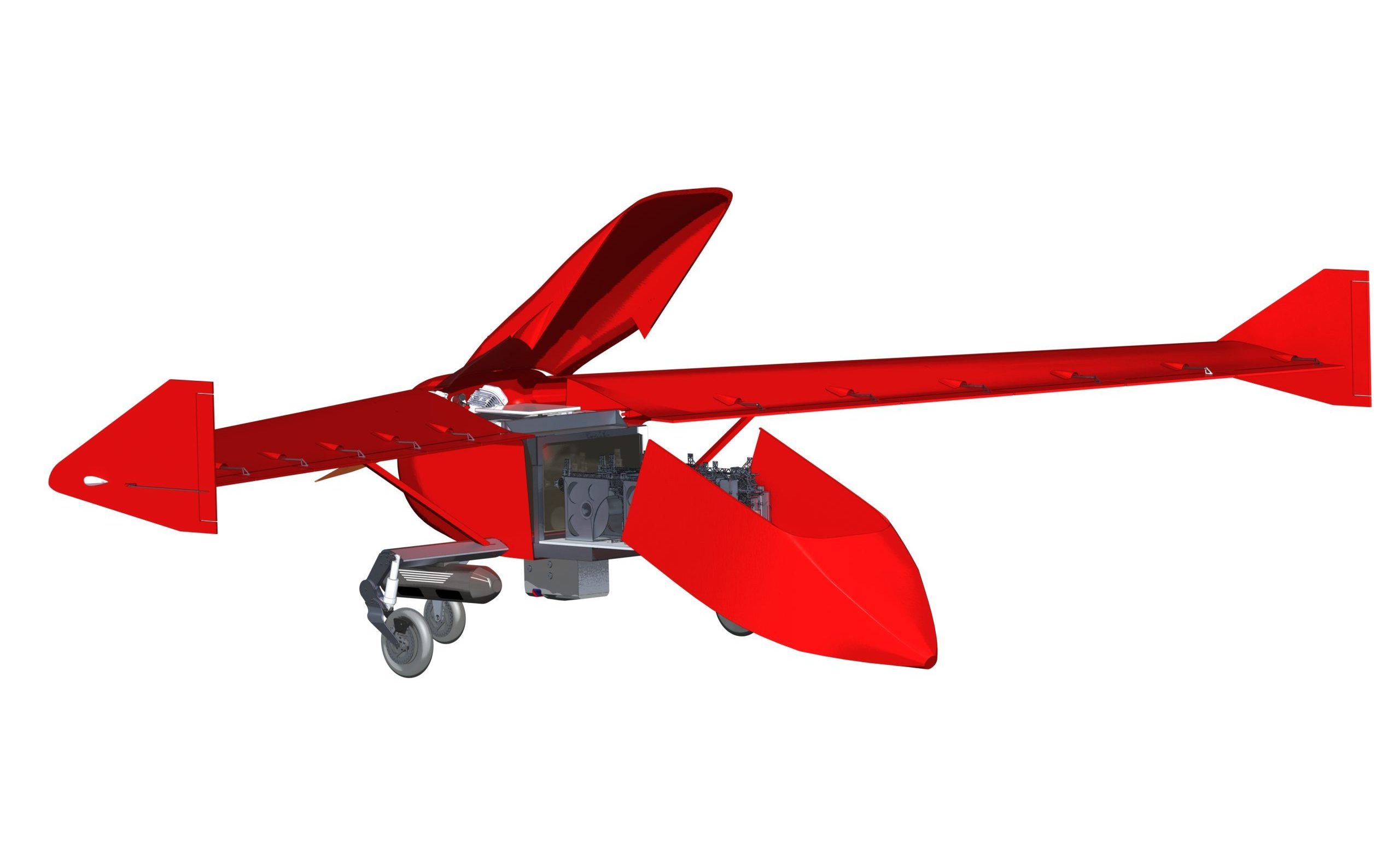
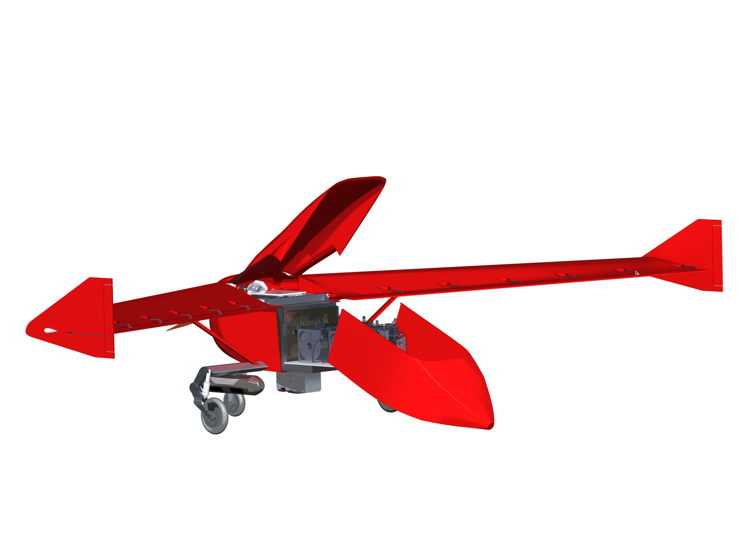
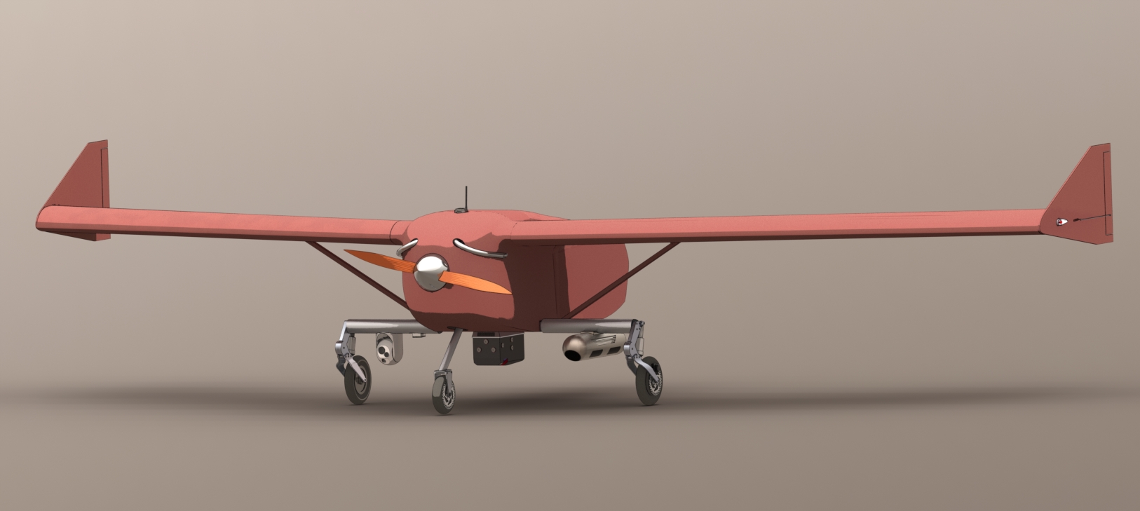
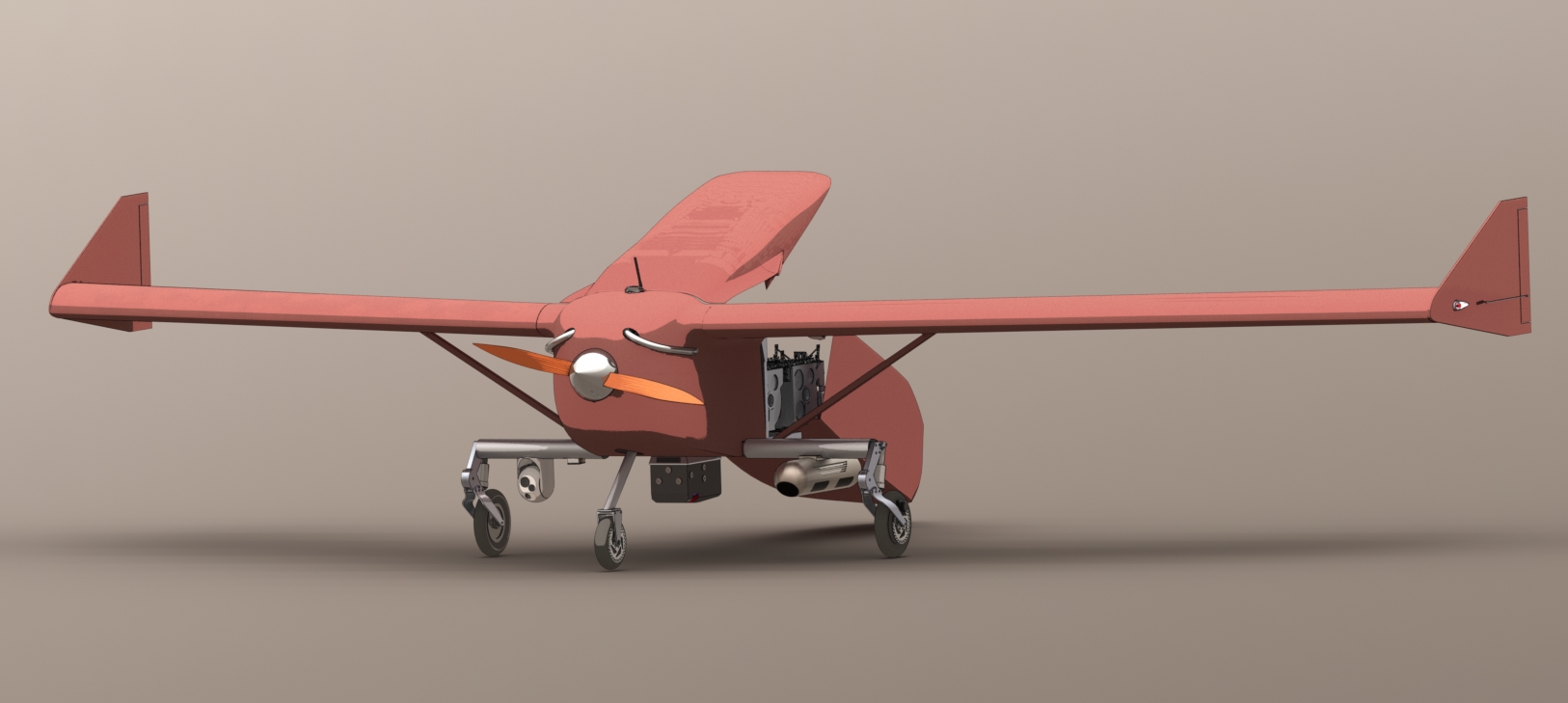
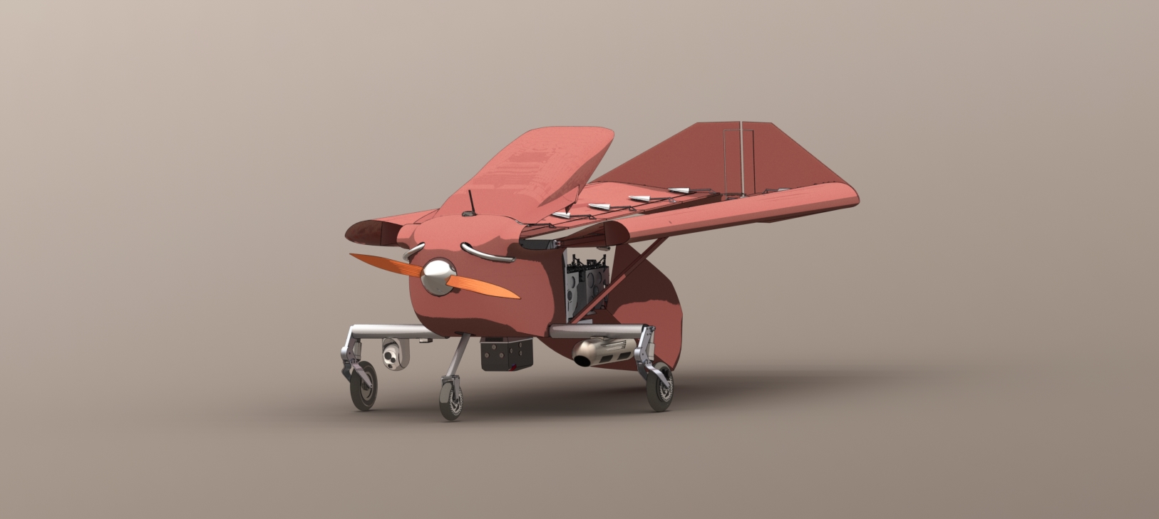
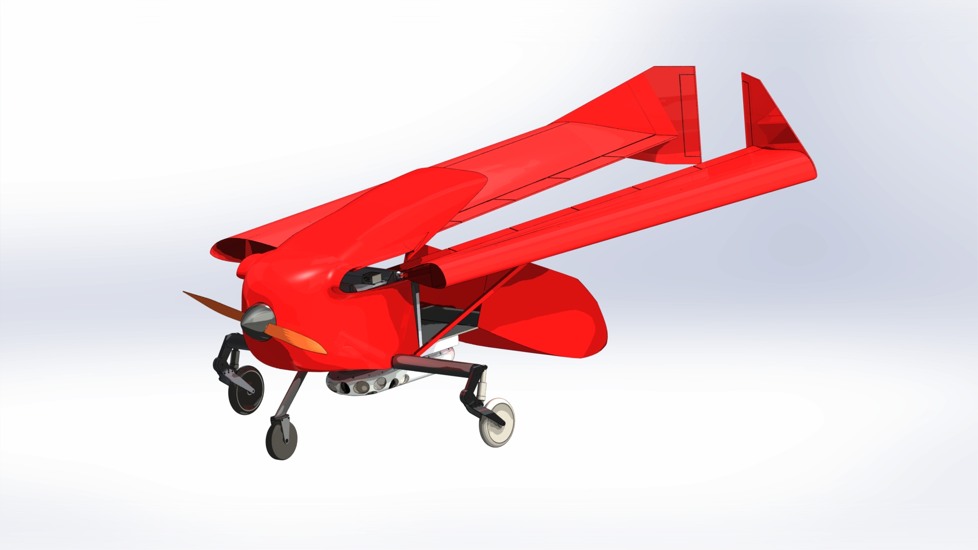
Introducing the TUAS150s.
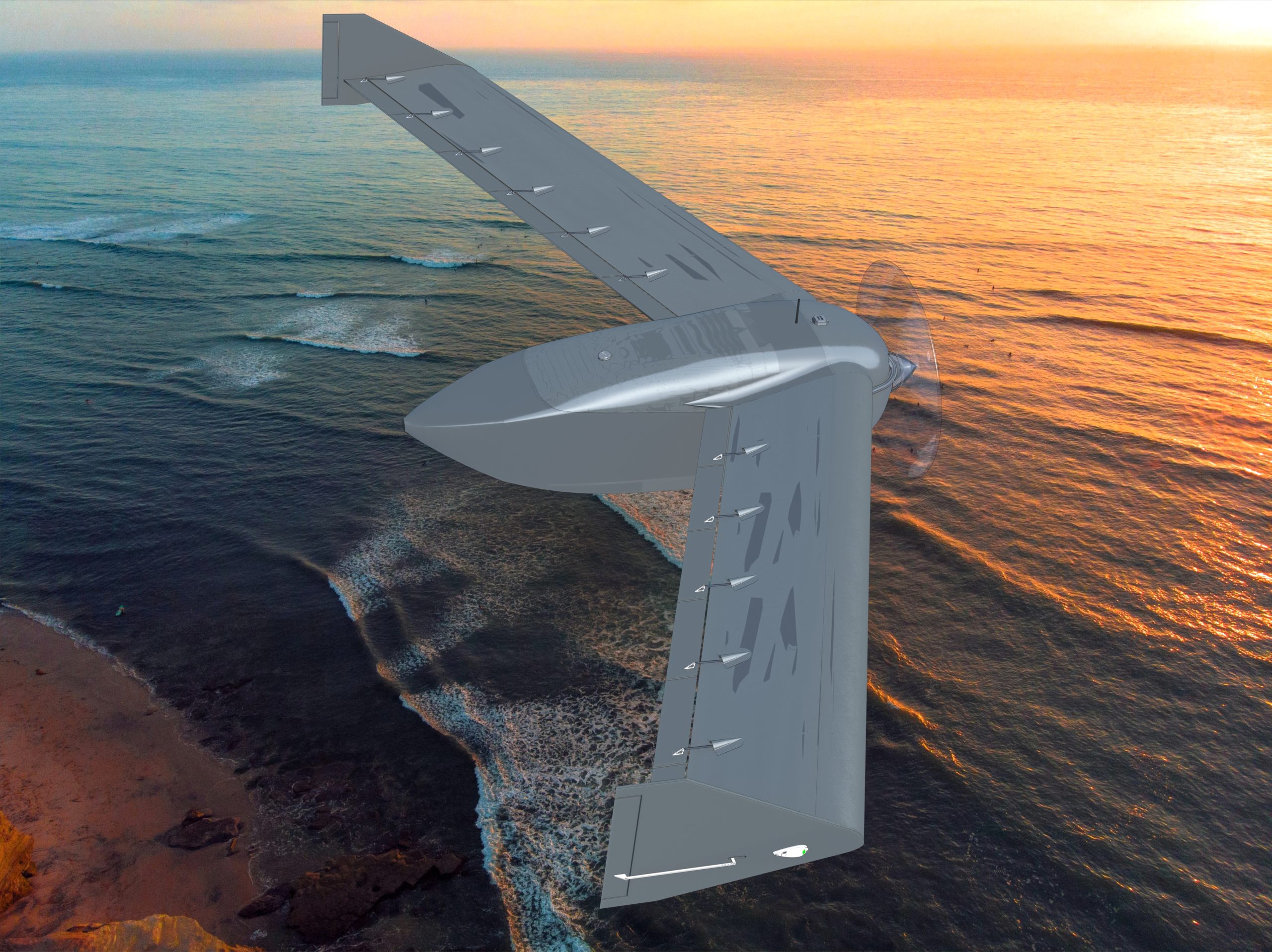
Designed specifically for bushfire prevention through controlled burning operations.

Read More >

Optics capture unseen wavelengths, including heat, with a compact day-night camera.

Read More >

Big drone LTD Pty. was incorporated in august 2024 to design and produce unmanned aircraft.

Read More >

Our aircraft has longer range, longer endurance and greater effective payload than other aircraft in its class.

Read More >

Purpose-built for search and rescue, combining sensors with life-saving delivery capability.

Read More >

Big drone provides solutions for various airborne roles and at a fraction of the cost of current manned aircraft applications

Read More >

We chose the configuration of the aircraft specifically as this enabled up to optimize functionality.

Read More >

Deliver packages up to 500km with 25kg load capacity, ensuring return to take-off point.

Read More >

Aircraft General.

  • High Precision Automatic Take-off and Landing on unprepared airstrips
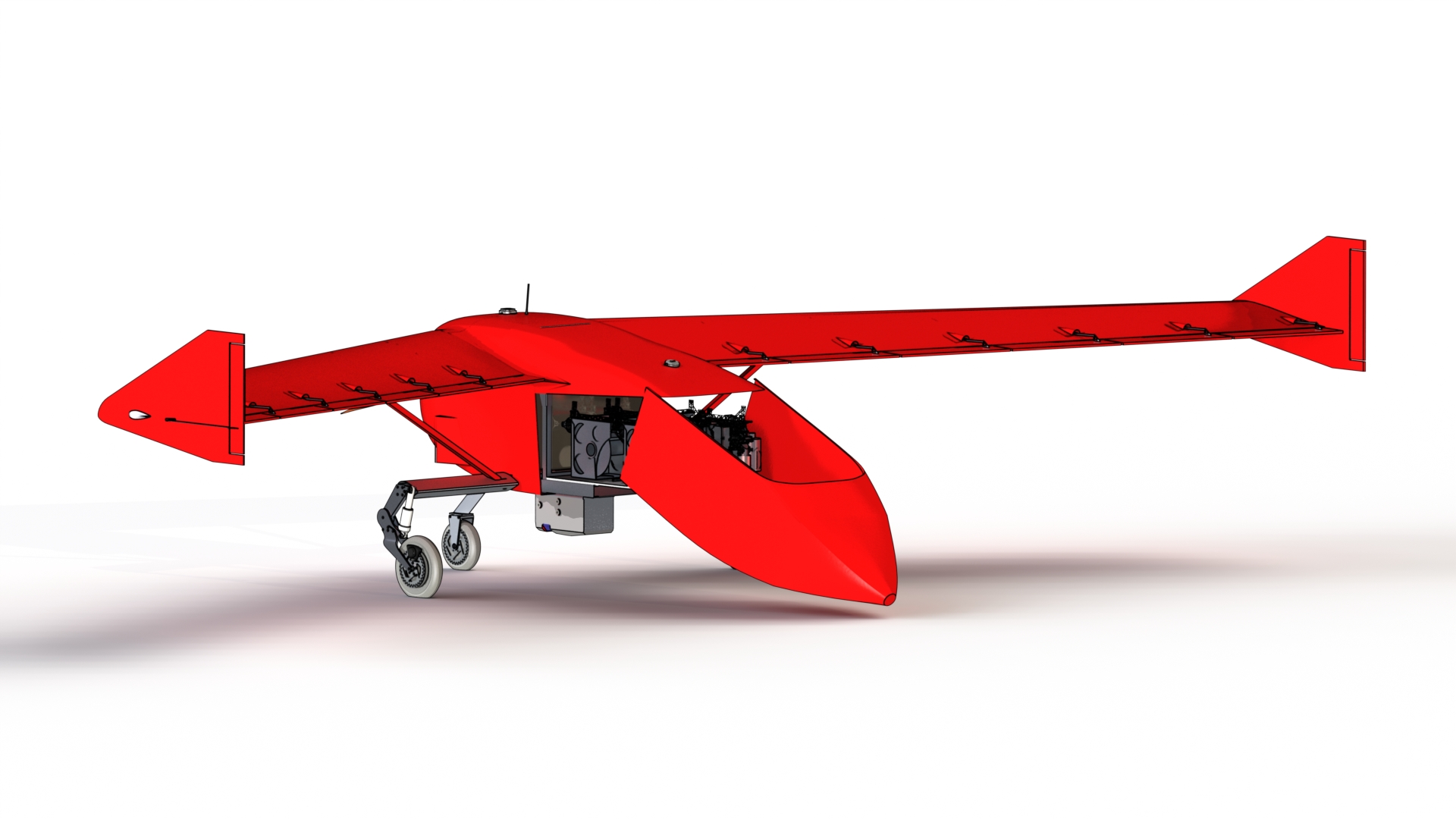
  • Robust aluminium Alloy fuselage construction
  • Dual Redundant Datalink – Line of Sight, and Satellite Link
  • GNSS Denied Navigation Capability
  • Vector 600 Autopilot System (DO-254, DO-178C, MIL-STD-810F)

Capabilities.

Ground controller will remove aircraft from ford transit Replenish fuel, oil and mission pod. Initiates gps differential antenna Establishes comms with aircraft plus local operations centre Local operations uploads waypoint requirements and accepted at safety centre Aircraft conducts mission. Changes to mission are driven by local operations but overseen at safety centre

If aircraft loses communications it will return to a predetermined remotenrecovery point and landed manually

Select Payload.

kgs

Flight Performance.

Range
Endurance

Power Performance.

Transit Speed

70% Power

On Station

50% Power

Max Speed

100% Power

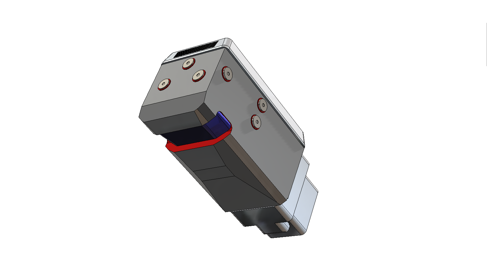
Adaptable Pod for a wide range of missions.

Ground controller will remove aircraft from ford transit Replenish fuel, oil and mission pod. Initiates gps differential

Incendiary

Search & Rescue

Surveillance

Package Delivery

300mm x 300mm x 300mm
Transportability.

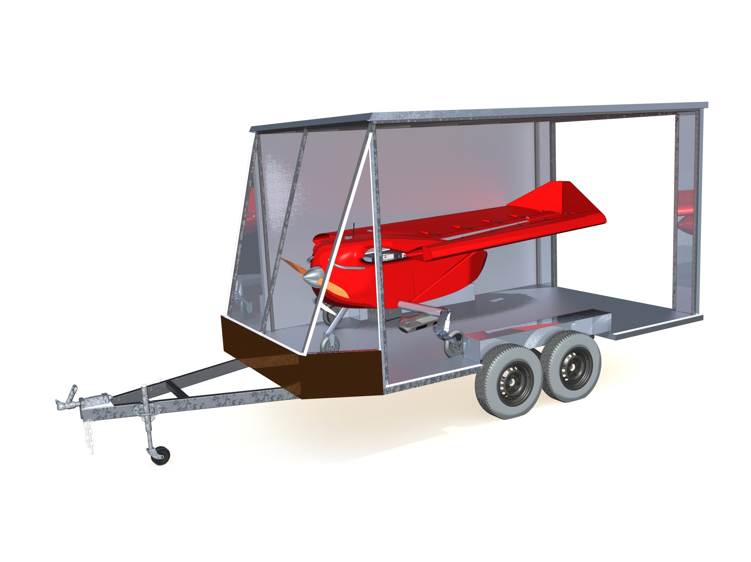
Ground controller will remove aircraft from ford transit Replenish fuel, oil and mission pod. Initiates gps differential

  • Aircraft requires only one person for flight preparation.
  • No LAME licence is required for servicing.
  • We will supply a simple weighbridge device to ensure the aircraft is within the CofG envelope.

Our Operating System.

Control of aircraft made by local/remote control centre as they will have full up to date weather, ATC traffic, NOTAMs, etc.

Ground-Controlled
Aircraft Mission Protocol.

Ground controller will remove aircraft from ford transit Replenish fuel, oil and mission pod. Initiates gps differential antenna Establishes comms with aircraft plus local operations centre Local operations uploads waypoint requirements and accepted at safety centre Aircraft conducts mission. Changes to mission are driven by local operations but overseen at safety centre

If aircraft loses communications it will return to a predetermined remote recovery point and landed manually
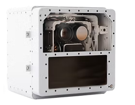
Sensor Available.

TK-7 SMART SENSOR.

• Nadir orientation optimized for wide-area, high resolution coverage

• Powerful suite of onboard processing and AI functionality

• Day & night capabilities

• Optimized for low to mid altitude and air speed

• Nadir oriented step-stare imagery across roll axis
delivers optimal coverage and resolution

• Automated wide-area, multi-band imaging

• On-board image rectification and stitching

• Low bandwidth requirements

• Powerful suite of mission-specific AI modules

• Cursor on Target network communication (CoT)

The TK-7 SMART SENSOR payload is a versatile map- ping and ISR system with RGB, NIR and LWIR sensors

housed in a SWaP-optimized enclosure for ease of integration into a variety of platforms.

Geophysical.

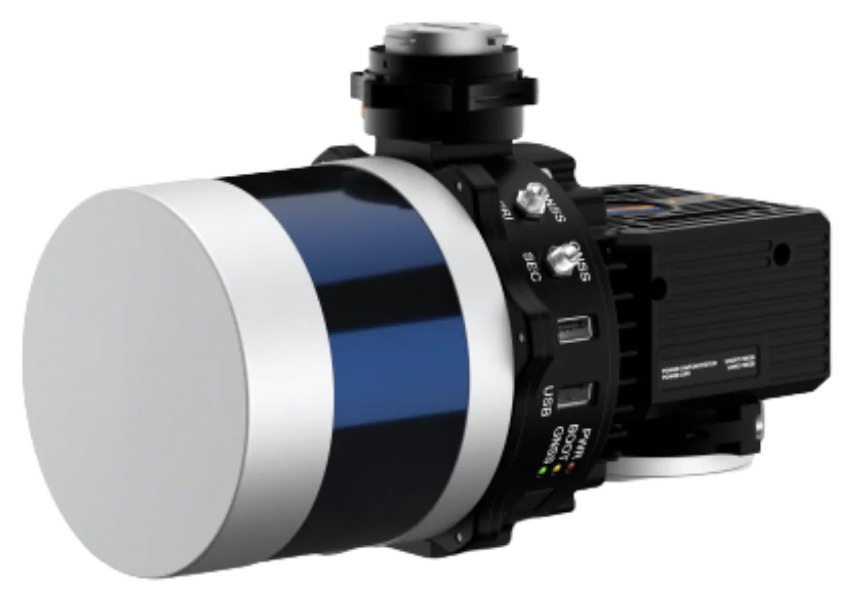
LIDAR: 1 -12 KGS.

Light detection and ranging (lidar) uses a laser pulse capable of measuring range and shape of a reflective surface. Images may be enhanced to provide a highly accurate 3d image .

RIEGL VUX-24024.

is the new version of the proven RIEGL VUX-240,
offering higher pulse repetition rates and faster scanning speed for
further increased field performance and workflow efficiency.

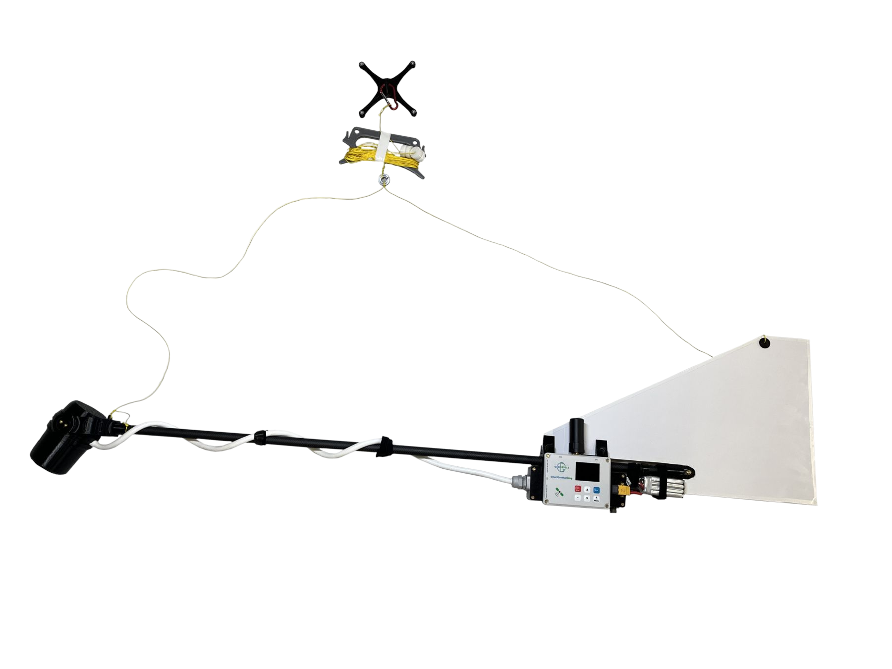
SURVEY MAGNETOMETER: WT 10KGS.

Light detection and ranging (lidar) uses a laser pulse capable of measuring range and shape of a reflective surface. Images may be enhanced to provide a highly accurate 3d image .

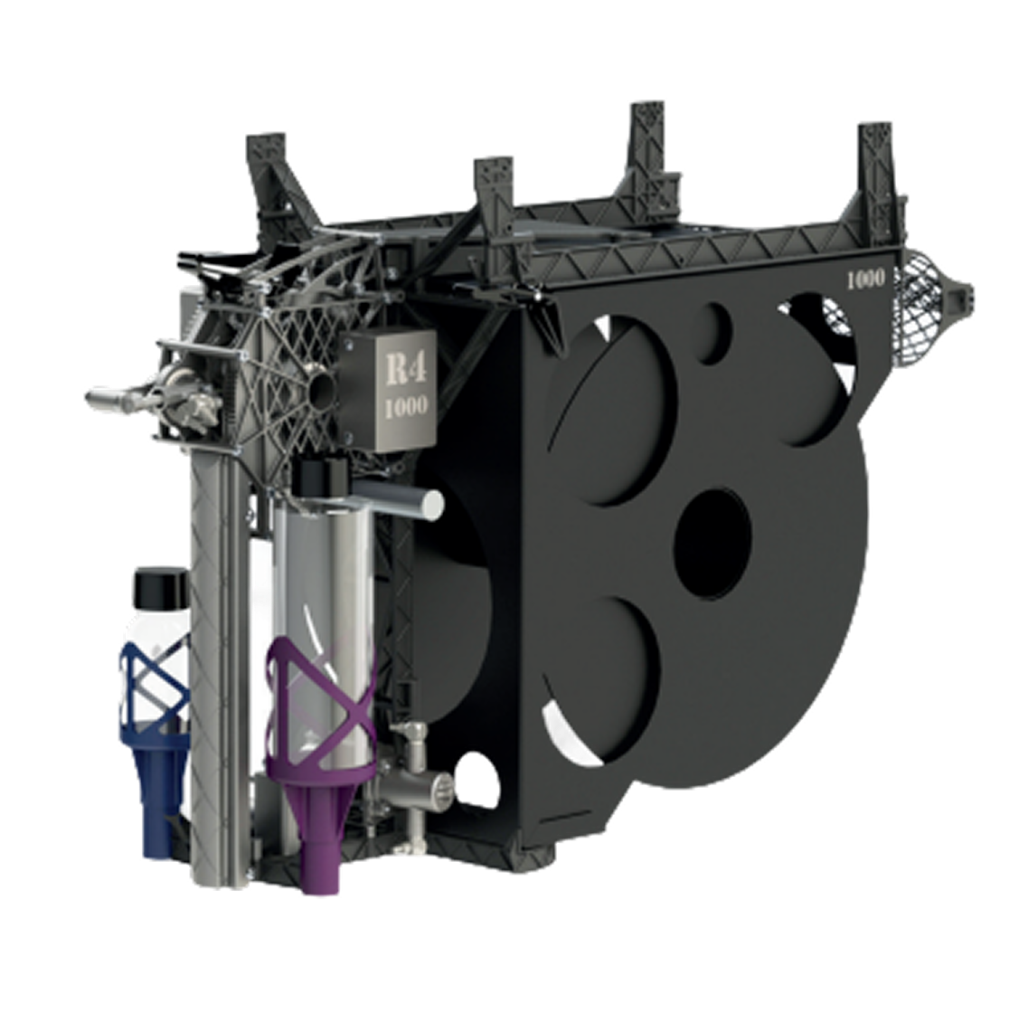
R4 UAS AERIAL
INCENDIARY MACHINE.

Raindance Systems has developed a complete range of Aerial Incendiary Machine
options. Designed with flexibility for a range of payload capabilities, that can be
integrated with your drone from small to beyond line-of-sight incendiary operations.

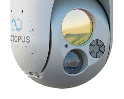
OCTOPUS E140LC.

Edge Autonomy, a leading provider of multi-mission EO/IR surveillance systems, presents the OCTOPUS E140LC, a state-of-the-art solution designed for superior image stabilization and long-range imaging capabilities. This advanced system incorporates cutting-edge technology to deliver exceptional performance.

Shield AI ViDAR System.

Shield AI, the deep-tech company building state-of-the-art autonomy software products and defense aircraft, today announced the delivery of its first ViDAR (Visual Detection and Ranging) payloads to NAVAIR’s Program Office for the Navy and Marine Corps Small Tactical Unmanned Aircraft Systems (PMA-263), destined for operations with the U.S. Marine Corps (USMC).